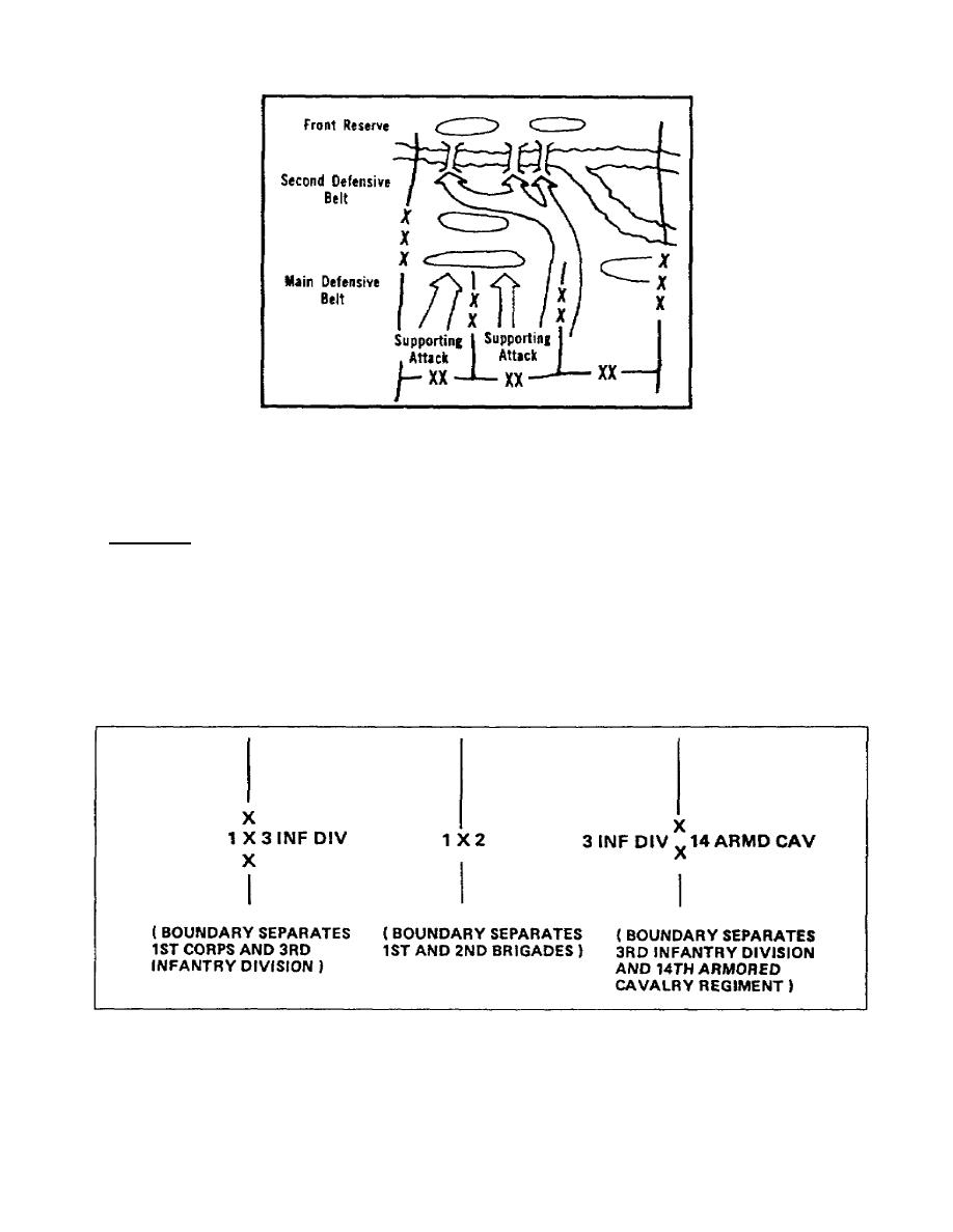
Figure 1-19. General turning movement
e. Fire Planning (App B, p B-58). Fire planning symbols follow the same rules as either points
or lines.
8. Boundaries.
Maps, and often your overlays, include boundaries. You show boundaries by using a solid line. You
indicate proposed boundaries with broken lines.
a. Lateral Boundaries. You include the size of the largest unit, and designation of the highest
unit and/or national designation with lateral boundaries. Figure 1-20 shows examples of lateral
boundaries.
Figure 1-20. Lateral boundaries
1-17
SS0529


 Previous Page
