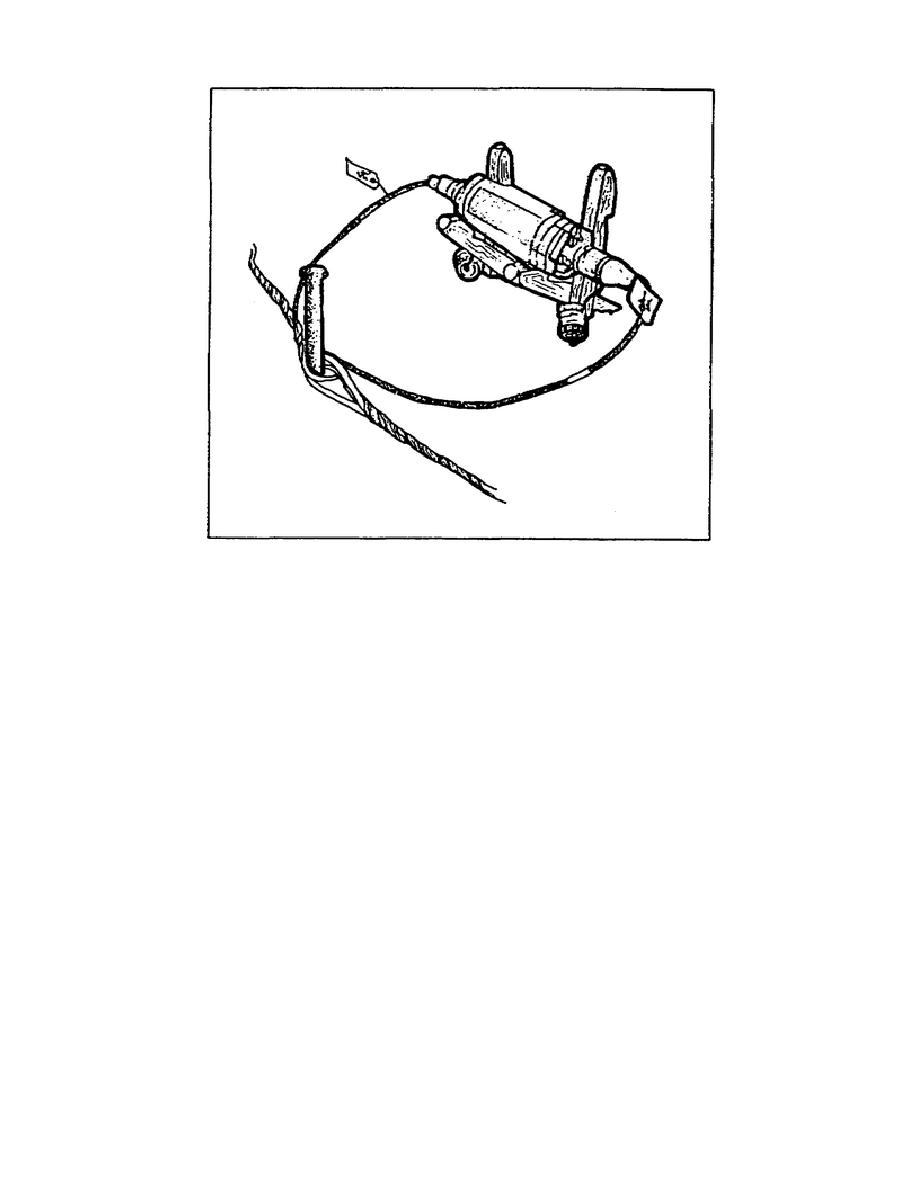
Figure 2-9.
Restorer installed in a cable line.
PART G - LINE ROUTE MAP
50. An overlay is a clear sheet of plastic or semitransparent paper. It
is used to display a supplemental map and tactical information related to
military operations. It is often used as a supplement to orders given in
the field. Information is plotted on the overlay at the same scale as on
the map, aerial photograph, or other graphic being used. When the overlay
is placed over the graphic, the details plotted on the overlay are shown in
their true position.
51. Purpose. Overlays are used to display military operations with enemy
and friendly troop dispositions, and as supplements to orders sent to the
field. They show detail that will aid in understanding the orders, displays
of communication networks, and so forth. They are also used as annexes to
reports made in the field because they clarify matters that are difficult to
explain clearly in writing.
52. Orienting.
Place the overlay over the place on the map to be
annotated. Then, if possible, attach it to the edges of the map with tape.
Trace the grid intersections nearest the two opposite corners of the overlay
using a straightedge and label each with the proper grid coordinates. These
register marks show the receiver of your overlay exactly where it fits on
his map; without them, the overlay is difficult to orient. It is imperative
that absolute accuracy be maintained in plotting the register marks, as the
smallest mistake will throw off the overlay. See Figure 2-10.
SS0444
2-14


 Previous Page
