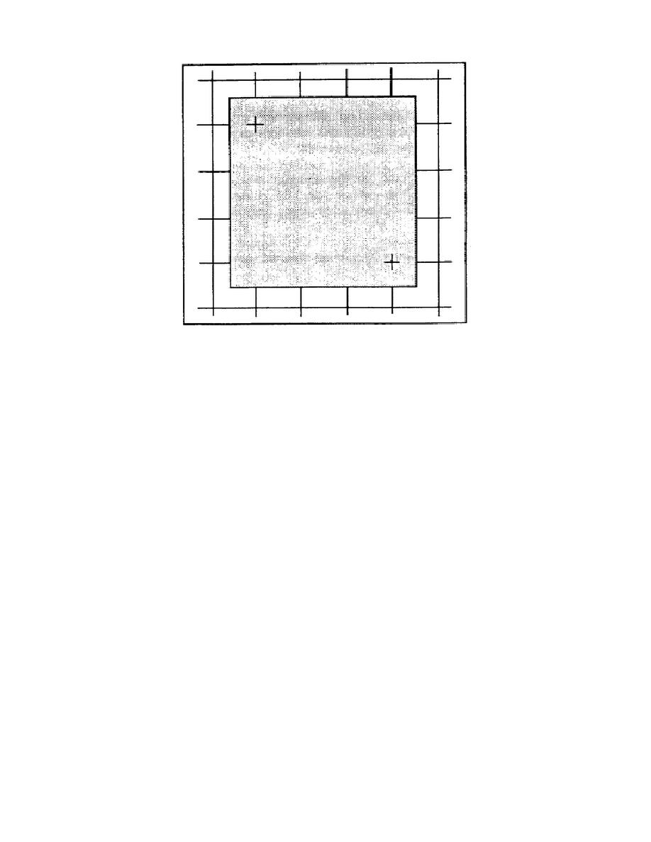
Figure 2-10.
Registering the overlay.
53. Plotting new detail. Use pencils or markers in standard colors that
make a lasting mark without cutting the overlay to plot any detail.
a. Use standard topographic or military symbols where possible. (Refer
to the appendix in this subcourse and FM 21-16, FM 101-5-1, and TC 24-40.)
Only authorized symbols may be used.
Depending on the conditions under
which the overlay is made, it may be advisable to plot the positions first
on the map, then trace them onto the overlay. Since the overlay is to be
used as a supplement to orders or reports and the recipient will have an
identical map, show only that detail with which the report is directly
concerned.
b. If you have observed any topographic or cultural features that are
not shown on the map, such as a new road or a destroyed bridge, plot their
positions as accurately as possible on the overlay and mark with the
standard topographic symbol.
c. If difficulty seeing through the overlay material is encountered
while plotting or tracing detail, lift the overlay from time to time to
check orientation of information being added in reference to the base.
54. Recording marginal information.
When all required detail has been
plotted or traced on the overlay, print information as close to the lower
right-hand corner as detail permits.
This information includes the
following data:
a. Title and objective. This tells the reader why the overlay was made
and may also give the actual location. For example, "Road Reconnaissance"
is not as specific as "Route 146 Road Reconnaissance."
2-15
SS0444


 Previous Page
